The Giants of the Mantle: Mapping the Earth’s Hidden Interior
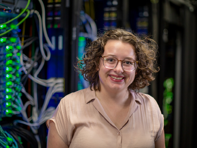
Thousands of kilometers beneath the soil of the Midwest and the depths of the Pacific Ocean lies a world that no human eye will ever see directly. This is the Earth’s mantle, a massive layer of solid rock that, over millions of years, flows like a slow and viscous liquid. At the very base of this layer, resting against the planet’s metallic core, are two enormous and mysterious structures. These features are known to the scientific community as large low velocity provinces, though researchers like Heidi Krauss, a fifth-year Ph.D. student at Michigan State University, simply call them “the blobs.” These structures are among the largest features of our planet, standing up to 1,000 kilometers tall, yet they remain one of the most significant mysteries in modern geology.
Krauss has dedicated her career to bringing these shadows into focus. While most geologists might spend their time in the field examining rock formations or mineral deposits, Krauss spends her days at a computer desk. She is a geodynamicist, a scientist who uses the laws of physics and the power of supercomputing to simulate the history of the Earth. Her goal is to understand where these blobs came from, what they are made of, and how they influence the world we live on today.
The Limits of Human Reach
The difficulty of studying the deep Earth cannot be overstated. The deepest hole ever drilled, the Kola Superdeep Borehole, reached only about 12 kilometers into the crust. This depth represents less than 0.2 percent of the distance to the Earth’s center. Because scientists cannot physically travel to the mantle, they must rely on indirect evidence. Seismologists use the waves generated by earthquakes to create images of the interior, a process that Krauss compares to a medical CT scan. As earthquake waves pass through different materials, they speed up or slow down, allowing scientists to map out the density and temperature of the deep Earth.
However, these seismic images are far from perfect. The resolution of a seismic map is often limited to about 100 kilometers, which means that any feature smaller than a large mountain range is essentially invisible. Most sensors are located in North America and Europe, leaving vast stretches of the ocean floor, particularly in the Southern Hemisphere, largely unmonitored. This creates a blurry and incomplete picture of the deep interior. Krauss uses computational modeling to fill in these gaps, testing physical theories to see which scenarios best match the blurry images provided by seismology.
Rebuilding the Earth in Code

At the heart of this research is a historic computer code known as Citcom. This software was partially developed by Krauss’s advisor, Allen McNamara, endowed professor of geodynamics in the Department of Earth and Environmental Sciences, starting in the 1980s. It has since become a standard tool in the geodynamics community. Citcom allows researchers to simulate mantle convection, which is the process of heat rising from the core and causing the mantle to circulate. To make these simulations accurate, Krauss’s models must solve complex equations for the conservation of momentum, energy, and mass across a global scale.
The rocks in the mantle do not behave like the rocks we see on the surface. Under the extreme pressure and temperature of the deep Earth, minerals undergo phase changes where their atomic arrangements shift. One of the most critical areas in Krauss’s models is the transition zone, which sits between 440 and 660 kilometers deep. In this region, the way the material moves and deforms changes significantly. To model this accurately, Krauss must instruct the computer on how to handle material that is neither a simple solid nor a simple liquid, but something that "mushes" and flows over geological timescales.
The Phenomenon of the Superpiles
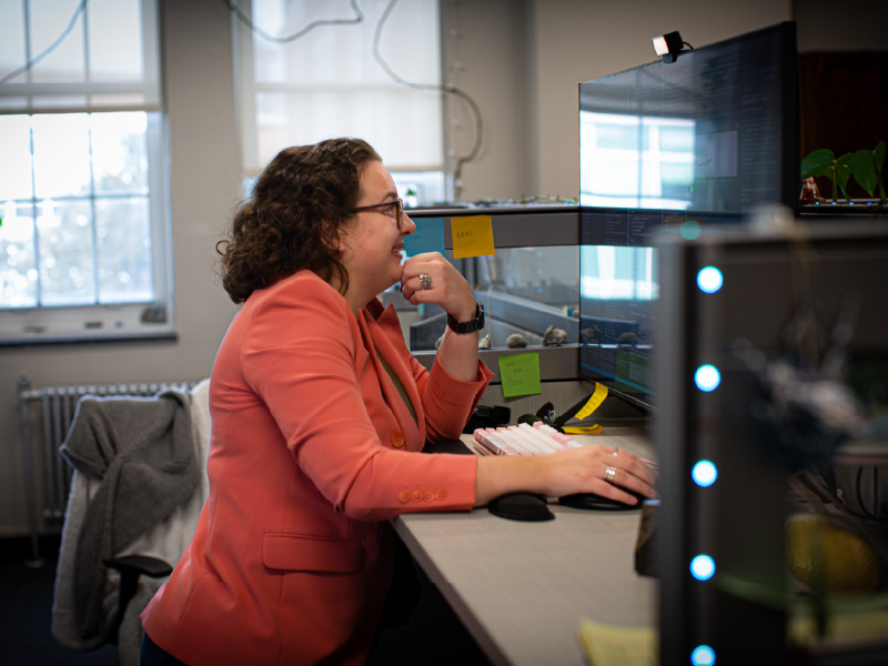
One of the most compelling aspects of Krauss’s recent work involves what she calls superpiles. This term describes a specific type of structure that forms in her simulations when dense material accumulates at the bottom of the mantle. There is a long-standing debate in geology regarding the origin of the blobs. Some scientists believe they are primordial, meaning they are made of dense material that has been there since the Earth first formed 4.5 billion years ago. Others suggest they are the graveyards of tectonic plates. When an oceanic plate is pushed under a continental plate, it eventually sinks to the bottom of the mantle. Over hundreds of millions of years, these plates could pile up to create the massive structures we see today.
In her simulations, Krauss tests these different theories by adjusting variables like density and temperature. She recently discovered a layer of material that evolved into a tall, stable pile that bobbed up and down at the core-mantle boundary, signifying that the blobs are not static features. They are dynamic parts of a moving system. By creating these digital worlds, Krauss can observe processes that take place over millions of years in just a few weeks of computing time.
The Vital Role of High-Performance Computing
These models would be impossible to run on a standard office computer due to their complexity. A typical laptop might have four cores for processing, but Krauss’s simulations require the massive resources of the Institute for Cyber-Enabled Research (ICER) at Michigan State University. She utilizes nearly 100 nodes at ICER to process her data. To create the visualizations that she uses in her presentations, the computer must calculate a thousand different time steps. For each of these steps, the software breaks the Earth into millions of tiny boxes and calculates how the material moves from one box to the next.
Krauss notes that a single frame of her simulation can take up to ten minutes to calculate. Without the power of a supercomputer, she might only be able to produce a few models during her entire Ph.D. program. With ICER, she has been able to run 120 different models for her latest research paper. This allows her to be far more thorough, testing a wide range of possibilities to ensure that her conclusions are robust. This prolific output is only possible because she can run 100 variations of her models simultaneously, finishing in three weeks what would otherwise take years.
From the Deep Earth to the Stars
The implications of this research extend far beyond the core mantle boundary. Krauss believes that understanding the blobs is essential for understanding the surface of our planet. There is strong evidence that these deep structures are linked to volcanic hotspots. For example, the massive plume of heat that fuels the Yellowstone supervolcano may be connected to the movement of material thousands of kilometers below. If scientists can understand the life cycle of these blobs, they may eventually be able to predict volcanic activity on a scale of hundreds or even thousands of years.
Furthermore, Krauss’s work helps us understand our place in the universe. By studying why the Earth developed its specific internal structure, such as the solid inner core and the liquid outer core that generates our magnetic field, we can better understand the evolution of other planets. As astronomers discover more exoplanets, the models created by geodynamicists like Krauss will be vital in determining which of those worlds might be capable of supporting life.